Hiking tour Tesselberger Alm
Difficulty:
Medium
Distance:
10.3 km
Ascent:
1027 m
Descent:
1027 m
Duration:05:30 h
Lowest point:1468 m
Highest point:2445 m
Best season
Jan
Feb
Mar
Apr
May
Jun
Jul
Aug
Sep
Oct
Nov
Dec
Short description
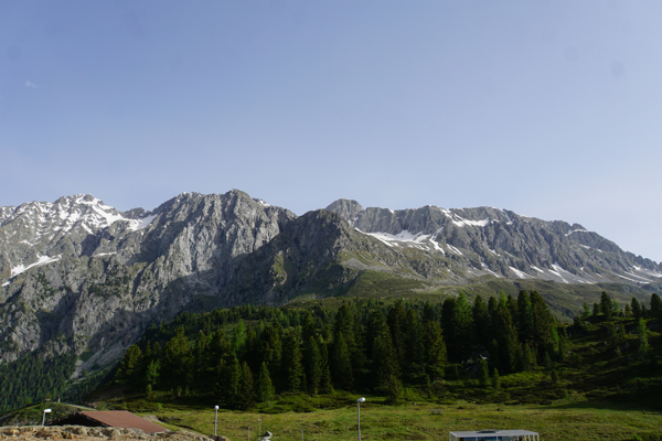
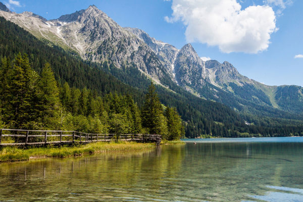
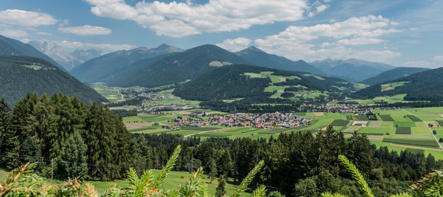
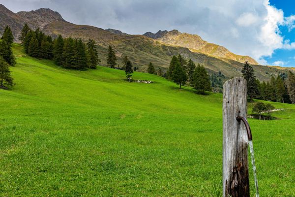
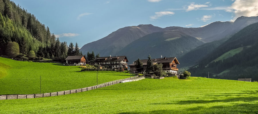
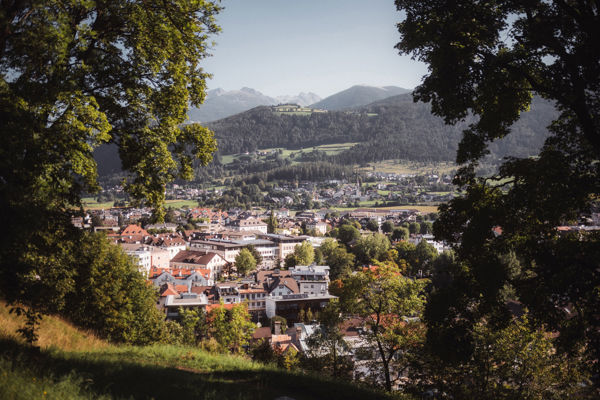
Beautiful alpine hike above Bruneck.
Starting point of the tour
Tesselberg, 1,473 m
Finish point of the tour
Tesselberg, 1,473 m
Route description
From Tesselberg (1,473 m), the wide forest path no. 7A leads up to the Tesselberger Alm (2,128 m, approx. 2 hours).
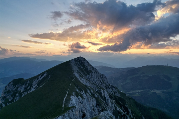
Continuing on trail no. 7A, you can climb to the summit cross of the Schönbichl (2,452 m); marked trails lead steeply up to the summit. From there, descend via the north ridge (steep sections are secured) and cross rocky slopes to the Korspitze (2,437 m).
Then descend the south side and branch off to the left back to the Tesselberger Alm and return to Tesselberg along the same route (approx. 2 hours).
Trail sign
7A
Directions
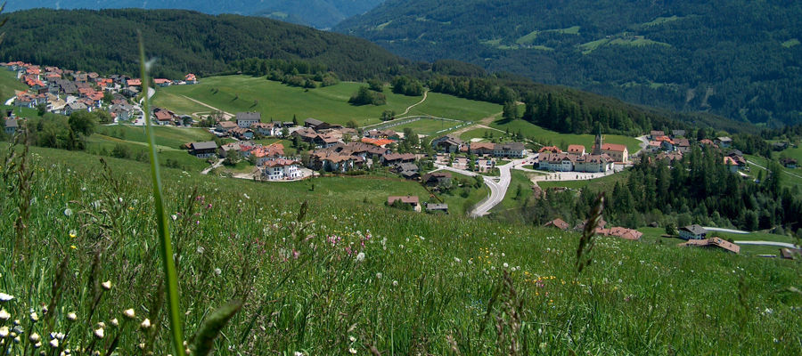
From Percha in the upper Pustertal Valley up to Tesselberg.
Tip by the author
Type of trail
Length 10.3 km
Author
Editorial office south-tirol.com


