from 65 €
Landhaus Fux
Residence | Schlanders in the Vinschgau

from 89 €
Hotel Vilpianerhof
Active hotel | Terlan in Southern South Tyrol

from 205 €
LANERHOF Relax & Active Retreat
Spa-Hotel | St. Lorenzen at Mt. Kronplatz

from 118 €
Hotel Saltauserhof
Wellness hotel | St. Martin in Passeier

from 166 €
MIRABELL DOLOMITES HOTEL
Luxury . Ayurveda & SPA | Olang at Mt. Kronplatz

from 66 €
Garni Ganthaler
in the middle of fruit orchards | Algund nearby Meran

from 255 €
Quellenhof Luxury Resort Passeier
Sport & wellness resort | St. Martin in Passeiertal

from 80 €
Pension Sonnenhof
Familiar atmosphere | Meransen in the Eisacktal

from 100 €
Hotel Tirolerhof
Gourmet hotel | Welsberg-Taisten at Mt. Kronplatz

from 80 €
Hotel & Resort Schlosshof
Charme Hotel | Lana near Meran

from 163 €
Viktoria Alpine Spa Resort
Wellnesshotel | Hafling near Meran

from 438 €
Naturhotel Waldheim
Active hotel | Altrei in Southern South Tyrol

from 122 €
Majestic – Unique Spa Resort
Wellness hotel | Reischach at Mt. Kronplatz

from 140 €
Hotel Sand
Hiking - biking hotel | Kastelbell-Tschars

from 205 €
WINKLER 5-Star Design Hotel
Design hotel | St. Lorenzen at Mt. Kronplatz

from 93 €
Hotel Leitner
Pure relaxation | Mühlbach in Eisacktal

from 252 €
SOLVIE Calm Inspiring Getaway
Sporthotel | Pfalzen at Mt. Kronplatz

from 66 €
Garni Ganthaler
in the middle of fruit orchards | Algund nearby Meran

from 98 €
Granpanorama Hotel Sambergerhof
Panorama Hotel | Villanders in the Eisacktal

from 70 €
Alpwellhotel Burggräfler
Wellness hotel | Tisens near Meran

from 125 €
Hotel Waldhof
Vitalpina Hotel | Rablà near Meran
Hiking tour Angerer Alm
Difficulty:
Medium
Distance:
3.7 km
Ascent:
309 m
Descent:
309 m
Duration:02:30 h
Lowest point:1105 m
Highest point:1401 m
Best season
Jan
Feb
Mar
Apr
May
Jun
Jul
Aug
Sep
Oct
Nov
Dec
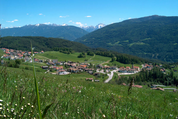
Short description
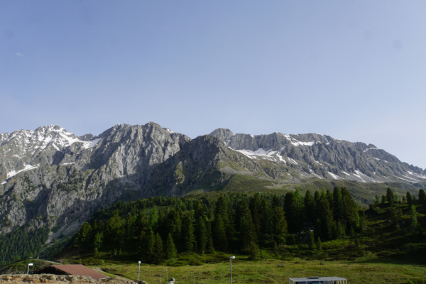
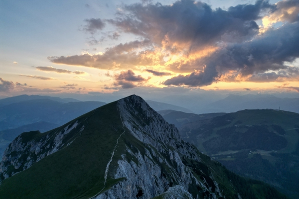
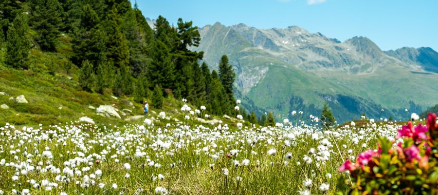
Easy family hike with views of the Pustertal Valley.
Starting point of the tour
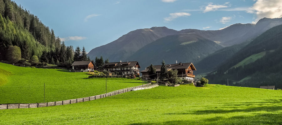
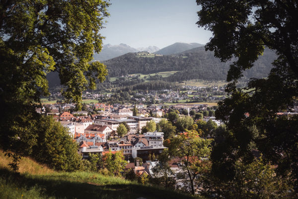
Olang
Destination point of the tour
Angerer Alm
Route description
From the 'Panorama' restaurant at the upper edge of the Olang meadows, follow trail no. 6 A along the farm road to below the Riedlerhöfe farms (1,172 m). Continue on trail 6 steeply uphill through the forest to the Angerer Alm and the inn (1,401 m).
Return: From the hut, descend along the access road until you reach trail no. 6 and return to the starting point.
Trail signs
6A, 6
Directions
To Olang in the Pustertal valley.
Tip by the author
Type of trail
Length 3.7 km
Author
Editorial office south-tirol.com