Hiking tour Eidechsspitze
Short description
Mountaineering on the Eidechsspitze in the Vintl-Pfunders area.
Description
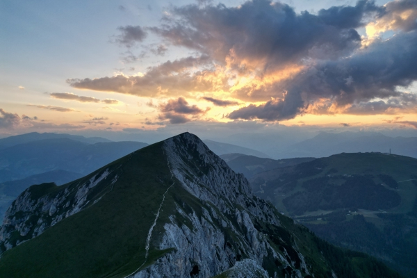
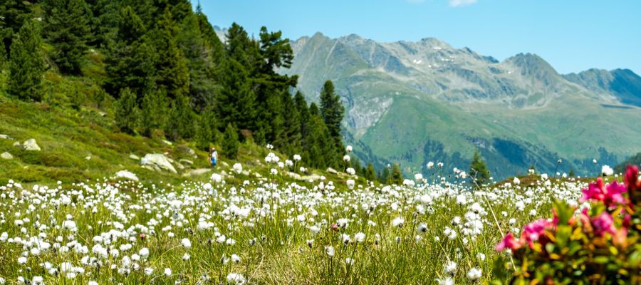
The Eidechsspitze in the Pfunders Valley is one of the most popular peaks in South Tyrol: initially moderately difficult, then high alpine, the trail leads through meadows and forests and later exposed and past a lake to the summit of the Eidechsspitze. An unforgettable experience.
Starting point of the tour
Car park in the Winnebachtal valley near Terenten
Destination of the tour
Eidechsspitze
Route description
The starting point of the hike is the car park (see markings) in the Winnebachtal valley near Terenten. You can get there via the Pustertaler Sonnenstraße from Vintl. From here, head northwards into the valley and after crossing the stream, continue on the left-hand side towards the Astnerberg Alm. Always on the left side of the stream, mountaineers hike up to above the valley station of a material cable car, where there is a fork in the path.
To reach the Eidechsspitze, hikers choose trail no. 23 to the Tiefrasten hut and walk through a larch forest to the beginning of the pastures of the Huberalm. There, a narrow mountain path branches off to the left at a red arrow marker to the Tiefrasten hut. The path leads steeply upwards next to a thundering waterfall and crosses the wide valley basin below the Kempspitze towards the west. Keeping to the right and over a partial step, you bypass a small valley and hike uphill to the Tiefrastenhütte. After a short break, continue in a north-westerly direction to the top station of the materials cable car.
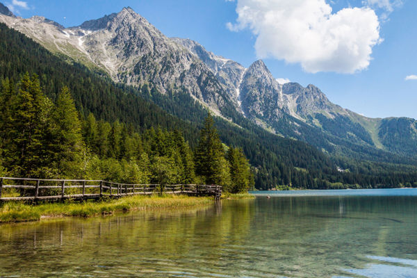
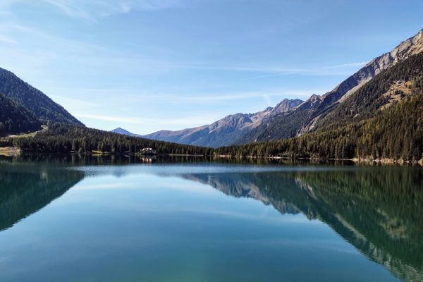
On trail no. 22, mountain enthusiasts hike over a broad ridge and then diagonally through a scree field to the beautifully situated Kompfossee lake.
To the north of the lake, take trail no. 22 uphill to the Eidechsspitze. The path initially goes gently up and down over a broad ridge, then crosses a steep flank to the summit. The last few metres are not difficult and lead along serpentines to the summit cross. For the way back, we recommend the same route as for the ascent.
Trail signs
23, 22
Equipment
Hiking boots, wind and rain protection, sunglasses
Public transport
Trains stop at the railway station in Vintl or Bruneck, bus connection to Terenten.
Public transport
Trains stop at the railway station in Vintl or Bruneck, bus connection to Terenten.
Directions
Brenner motorway A22, exit Brixen/Pustertal, direction Pustertal/Bruneck, in Niedervintl turn left at the traffic lights onto Pustertaler Sonnenstraße to Terenten.
Parking
Car park in the Winnebachtal valley near Terenten
Tip by the author
Author
Editorial office south-tirol.com


