Hiking Hut tour in the Ortler region
Short description
Hike from hut to hut on the Ortler in the Vinschgau Valley.
Description
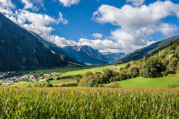
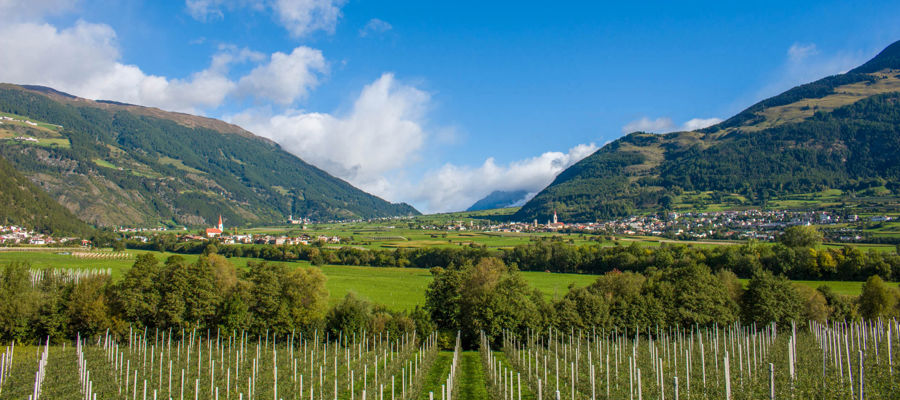
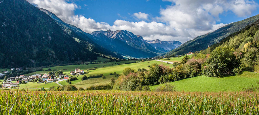
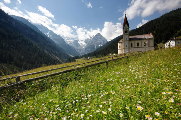
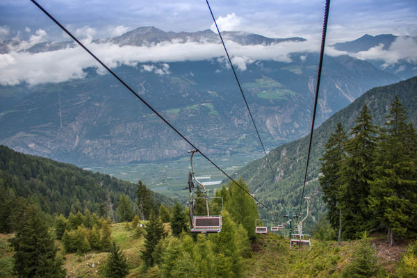
The Ortler region is something for experienced and fit hikers: metre after metre of hiking trails, rocky paths and via ferratas stretch upwards through avalanche trenches, snowfields and over embrasures. Hiking on the Ortler is pure adventure.
Starting point of the tour
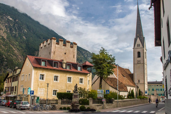
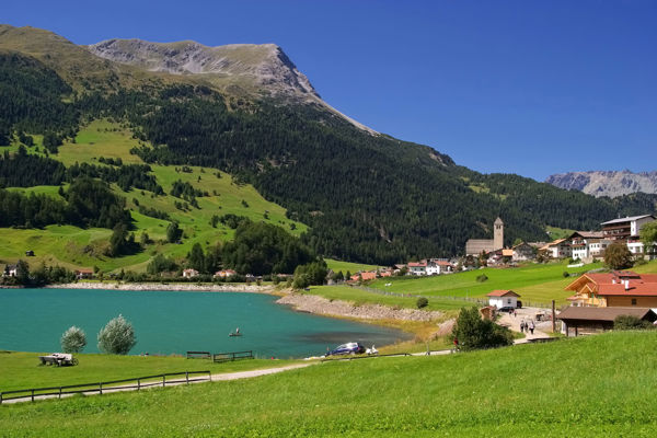
Sulden
Destination of the tour
Tabaretta, Payer and Bergl huts
Route description
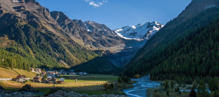
The hut hike starts at the St. Gertraud church in Sulden. Hikers take trail no. 4 here and cross the cradle, the Kössler Wasser and reach the high trail no. 4a to the Langenstein via the Knappenloch and the Schöpfgraben viewpoint. This trail takes you over the Marltmoröne and up numerous strenuous hairpin bends to the Tabaretta hut. After a short rest, mountaineers hike over the Tabarettascharte and along an exposed rocky path.
A few hairpin bends take you to the Payerhütte, where the normal ascent for the Ortler ascent begins. Return along the same route to the saddle. Here, hikers take trail no. 18 into the Trafoi valley at the fork in the trail and turn left at the next fork in the trail towards the Bergl hut. From here, continue over the Tabaretta ridge and across an avalanche trench to the Bergl hut. The further descent leads via hairpin bends to the Three Holy Wells and to Trafoi. Return to Sulden by private car or public bus.
Trail sign
4, 4a, 18
Equipment
Hiking boots, wind and rain protection, hiking poles, sunglasses
Parking
Car park at the church of St. Gertraud in Sulden
Tip by the author
Type of trail
Length 15.4 km
Author
Editorial office south-tirol.com