Hiking tour Oberwaalweg
Short description
The Waalwege in the Upper Vinschgau Valley: hiking from Burgeis to the plant garden.
Description
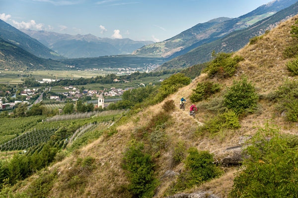
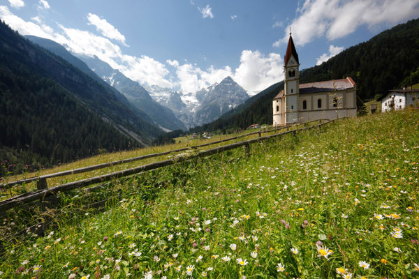
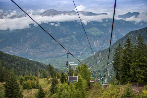
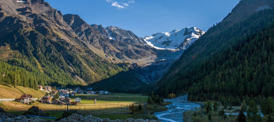
Paths have led along the traditional irrigation channels for centuries. Once used for the maintenance of the irrigation channels, today they are special hiking trails that invite hikers to enjoy panoramic tours.
Starting point of the tour
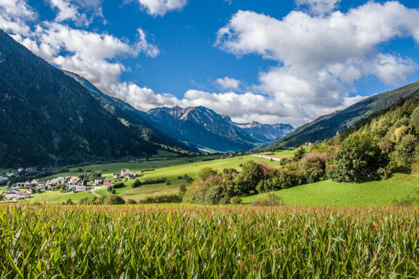
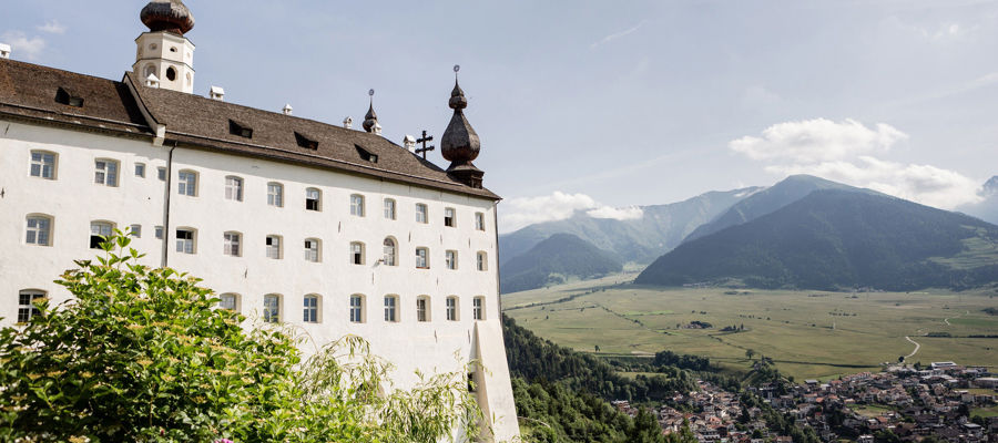
Burgeis
Destination point of the tour
Plant garden Mals
Route description
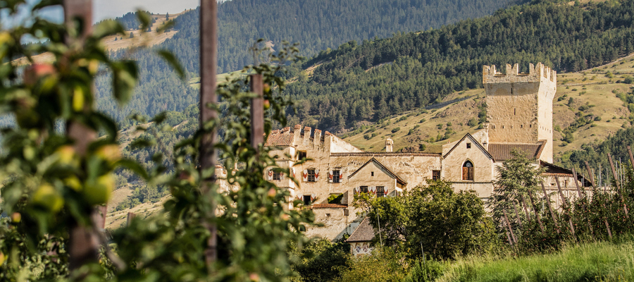
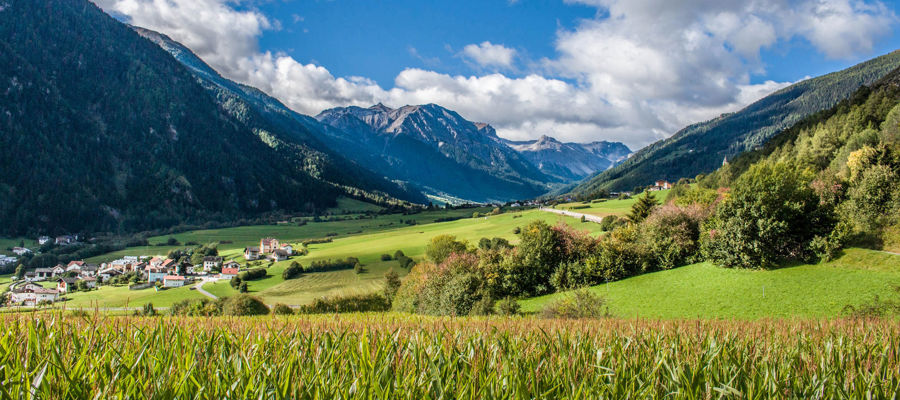
The Waalweg trail begins in Burgeis. From there, take the Planeil road and join path no. 17 at the stone bridge. The Waalweg leads through rocky terrain and mixed forest and carries water from mid-June to September. Once you reach the Pflanzgarten in Malles/Mals, you can continue to Tartsch and Schluderns.
Trail sign
17
Equipment
Hiking boots, wind and rain protection, sunglasses
Public transport
Trains stop at the railway station in Bozen, Meran or Mals
Directions
Brenner motorway A22, exit Bozen Süd, MEBO motorway to Meran, Vinschgau state road SS38, direction Burgeis
Parking
Car park in Burgeis
Tip by the author
Type of trail
Length 11.7 km
Author
Editorial office south-tirol.com