Hiking in Vinschgau
Vinschgau combines easy trails in the valley with long hikes in the side valleys and high-alpine destinations around Ortler, Martelltal and Obervinschgau. It is precisely this variety that makes hiking in Vinschgau so interesting. You will find Waalwege, alpine pasture hikes, cultural trails and challenging mountain hikes in a region stretching from Mals and Graun to Latsch and Martell.
Waalwege, side valleys & high-alpine destinations
The area is clearly divided. In Upper Vinschgau, Waalwege and trails around Burgeis, Mals, Glurns and the Münstertal dominate the landscape. In Central Vinschgau, destinations near Schlanders, Latsch and Kastelbell are added to the mix. In the Martell Valley and around Sulden, the terrain becomes more alpine. There you’ll find classic hut and mountain tours such as the Morteralm or Tabaretta Hut.
Tips for hikes in Vinschgau

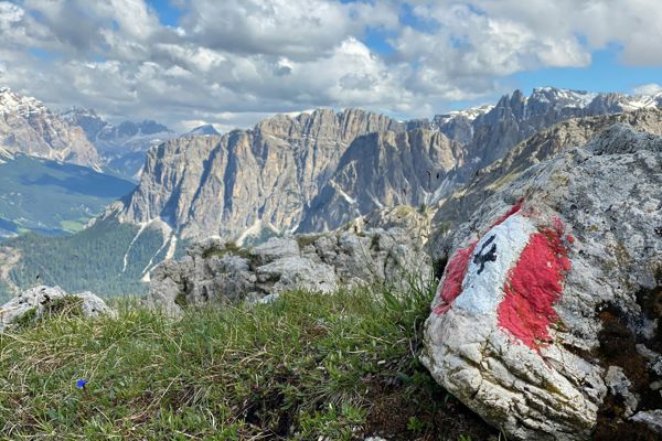
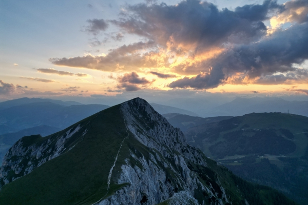
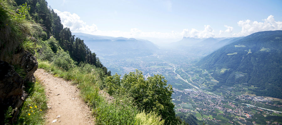
From the Waalweg path, you can have a wonderful view of the valley and of the environs.
IDM Südtirol - Frieder BlickleAnyone looking for hikes in Vinschgau will find tours to suit a wide range of abilities, from easy Waalwege to long tours in high-alpine terrain:
- Mitterwaalweg – an easy hike from Glurns to Rifair in the Münstertal, covering 8.2 km, 341 m elevation gain and taking 2 hours 30 minutes.
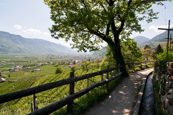
- Latschanderwaalweg – also easy, covering 8.4 km and taking 2 hours, ideal for a relaxed day’s hiking between Latsch and Kastelbell.
- 8-Churchs Hike – circular walk near Taufers in the Münstertal valley, covering 12.2 km and taking 3 hours 15 minutes.
- Oberwaalweg – Waalweg trail starting from Burgeis and heading towards Mals, particularly pleasant in the warmer months.
- Ilswaalweg – a short hike from Schlanders through the Schlandraun Gorge, covering 4.1 km and taking 1 hour 50 minutes.
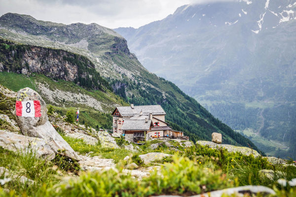
- Morteralm – a classic alpine pasture hike in the Martell Valley starting from Burgaun, well suited for anyone seeking a peaceful mountain landscape.
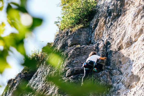
- Tabaretta Hut – a longer hut-to-hut hike starting from the valley station of the Suldner cable car, covering 16.6 km and featuring a distinctly high-mountain character.
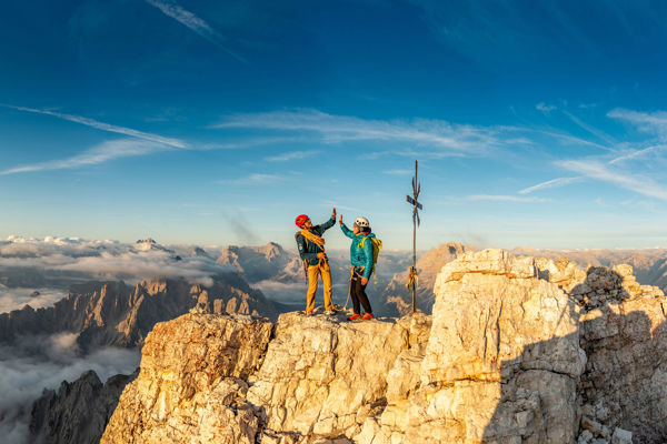
- Elferspitze – an alpine hike starting from Graun, using the cable car via the Haideralm, suitable for experienced mountain hikers.


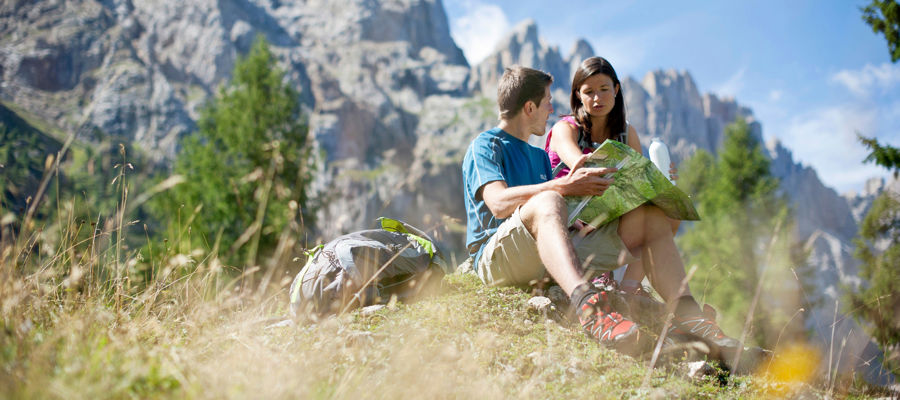
Ideal for leisure hikers and mountain walkers
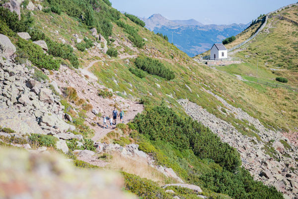
A hiking holiday in Vinschgau can be easily tailored to your fitness level. For more relaxed days, the Mitterwaalweg, Latschanderwaalweg, Oberwaalweg or the 8-Churches Walk in Taufers in the Münstertal are particularly suitable. Those seeking greater altitude and longer climbs are better off heading for the Morteralm, Tabaretta Hut or Elferspitze. There are also routes linking the two areas, such as shorter Waalwege trails in the valley and alpine tours in the side valleys.
A typical feature of hiking in Vinschgau is the rapid change in landscape. In the valley, dry slopes, cultivated landscapes and historic villages dominate. At higher altitudes, alpine pastures, mountain lakes and glacier views follow. This makes the region suitable for both shorter hiking holidays with easy walks and longer stays with several days in the mountains.
Frequently asked questions
Which hikes in Vinschgau are best suited for beginners?
The Mitterwaalweg, Latschanderwaalweg, Ilswaalweg and the 8-Churches Hike are particularly suitable for beginners. These routes are easy or short and have manageable walking times.
Where does it get more challenging in Vinschgau?
It becomes more challenging particularly around Sulden, Martell and in the higher areas of Upper Vinschgau. The Tabaretta Hut and the Elferspitze are good examples of this
At what time of year is the Vinschgau Valley an interesting hiking destination?
Due to the varying altitudes, the Vinschgau Valley offers different options depending on the season. Lower-lying trails are often attractive earlier in the season, whilst higher-altitude routes are more dependent on the weather and conditions.