Hiking tour Ilswaalweg
Short description
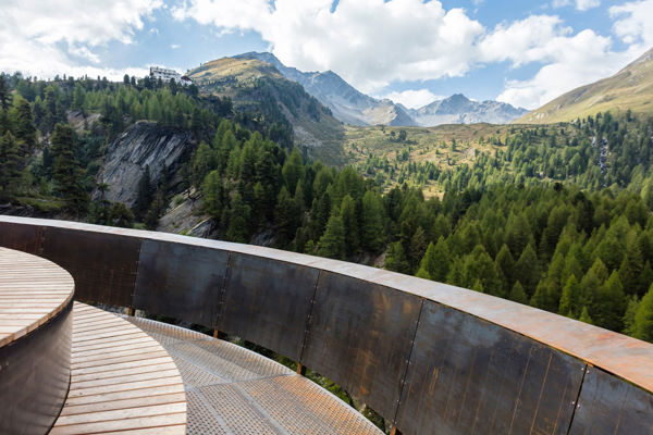
Hiking on the Waalweg into the Schlandraun Gorge.
Description
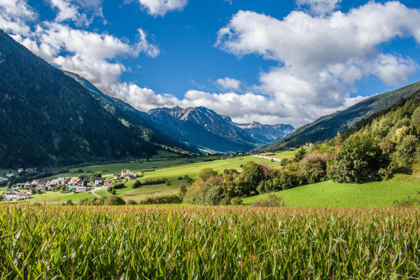
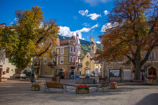
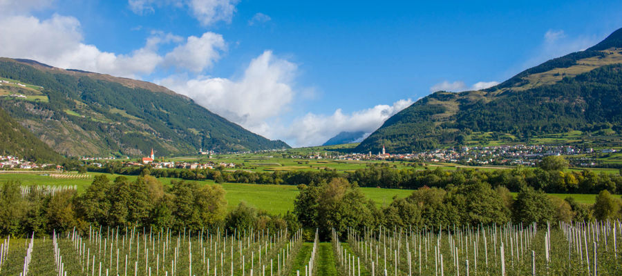
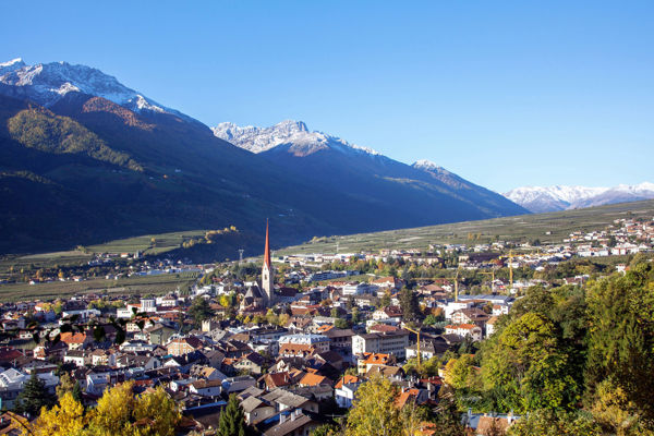
Schlanders is very popular with hikers thanks to its incomparable charm.
Starting point of the tour
Schlanders
Destination of the tour
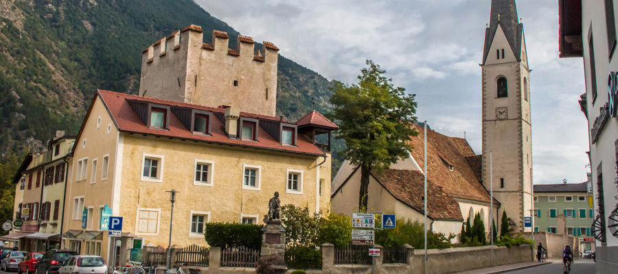
Kortsch near St. Ägidius church
Route description
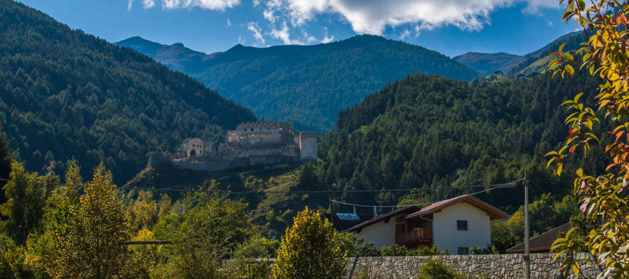
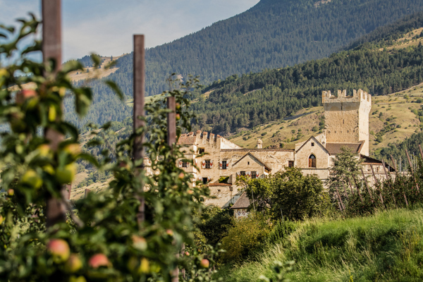
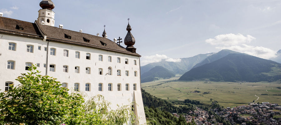
Starting from Schlandersberg Castle, take trail no. 5/11 and hike along the Waalweg into the Schlandraunschlucht gorge. This path leads through steep rock faces, varied mixed forest and chestnut groves. The Waalweg ends in Kortsch at the St. Ägidius church. Water flows in the Waal from March to October.
Trail signs
5/11
Equipment
Hiking boots, wind and rain protection, hiking poles, sunglasses
Public transport
Trains stop at the railway stations of Bozen, Meran and Mals
Directions
Brenner motorway A22, exit Bozen Süd, MEBO motorway to Meran, Vinschgau state road SS38, direction Schlanders
Parking
Car park in Schlanders
Tip by the author
Type of trail
Length 4.1 km
Author
Editorial office south-tirol.com