Hiking tour Lichtenberger Almen
Short description
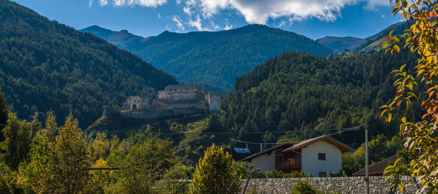
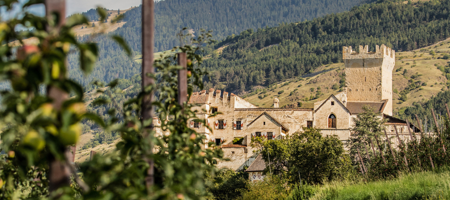
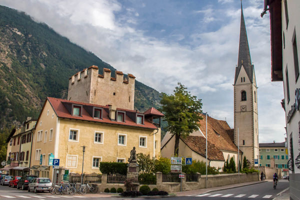
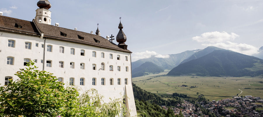
A few kilometres from Prad, the mighty ruins of Lichtenberg rise up, seemingly watching over the land and its people.
Description
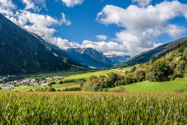
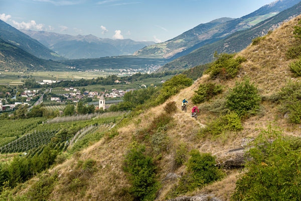
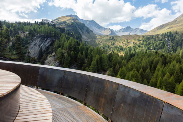
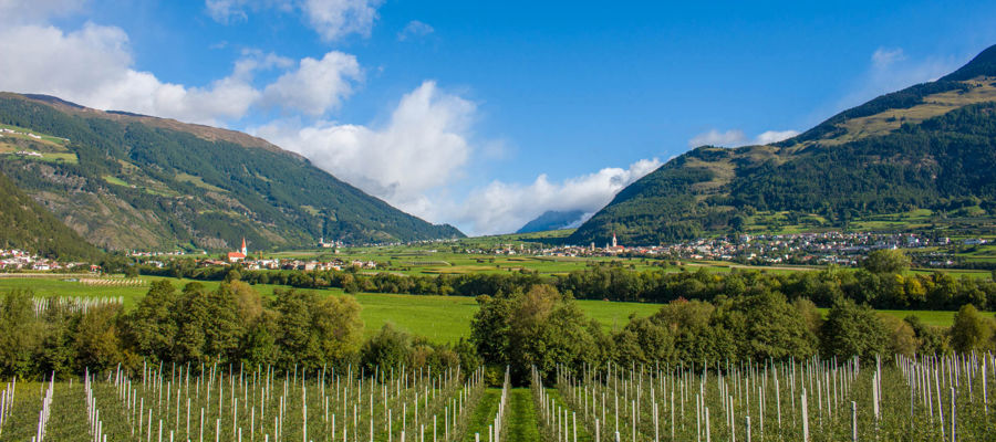
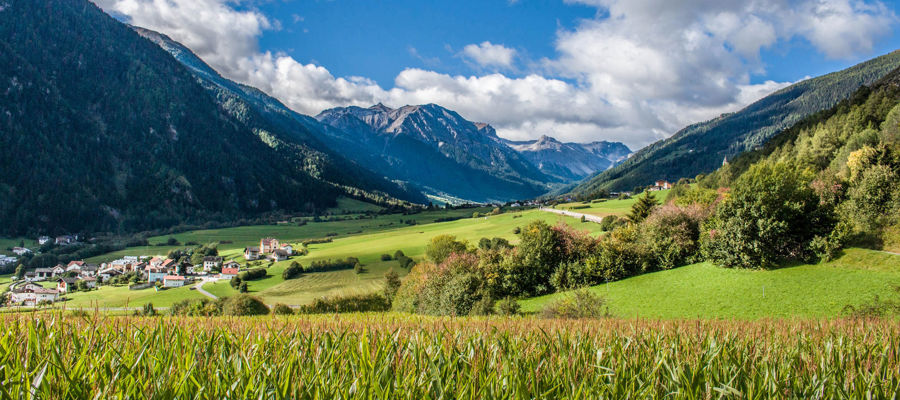
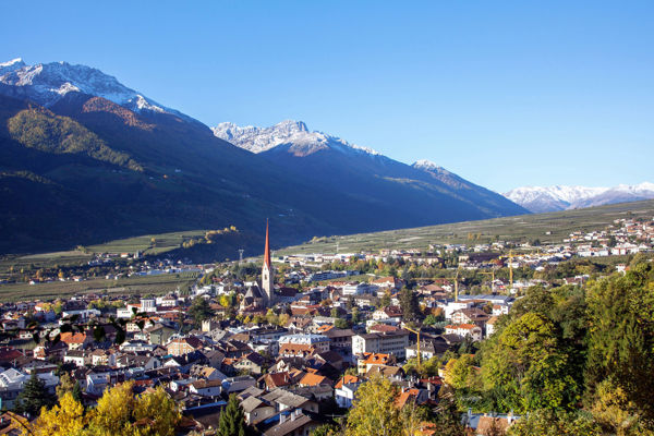
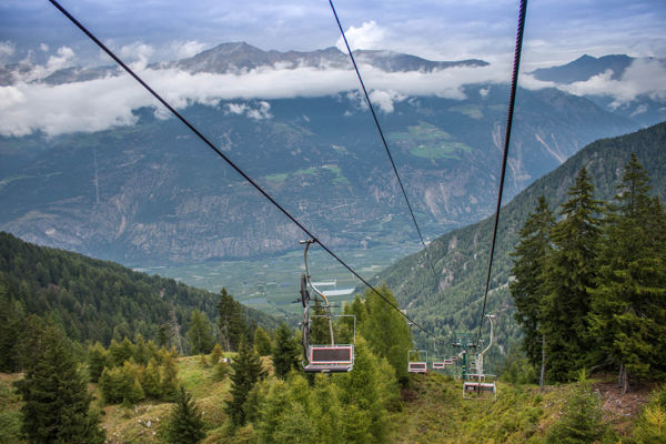
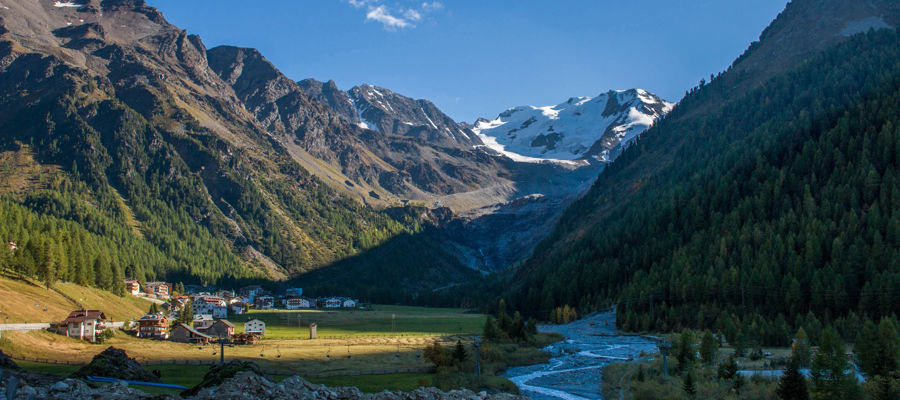
Hiking in Prad and in the three-country triangle is an experience full of contrasts: in the valley, lovely landscapes, in the centre dense, seemingly impenetrable forests and at the very top, high Alpine pastures with distant views of the Venosta Valley glaciers. Fascinating!
Starting point of the tour
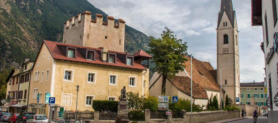
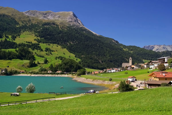
Lichtenberg
Destination of the tour
Lichtenberg mountain pastures
Route description
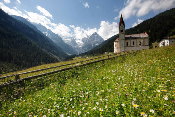
Lichtenberg is the starting point of this hike to the mountain pastures of the same name, which are located above the historic castle and from where hikers can enjoy a magnificent panoramic view of Prad and the upper Vinschgau Valley. In Lichtenberg, hikers always follow trail no. 12, which first takes mountain enthusiasts to the Platzhof and later quite steeply to the Kleine Schartalm.
Here you take trail no. 13, hike through forest slopes and across a beautiful mountain meadow into Gutfalltal. Hikers soon reach the Lichtenberger Almen along the valley, which are connected by a romantic and well-marked alpine trail. The way back is on trail no. 14, which is only sparsely marked at the beginning and much better later on.
Trail sign
12, 13, 14
Equipment
Hiking boots, hiking poles, wind and rain protection, sunglasses
Public transport
Trains stop at Meran railway station, bus connection to Lichtenberg
Directions
Brenner motorway A22, exit Bozen Süd, motorway (MEBO) to Meran, Vinschgau state road SS38, direction Prad am Stilfserjoch
Parking
Car park in Lichtenberg
Tip by the author
Type of trail
Length 16 km
Author
Editorial office south-tirol.com