Hiking tour Speikboden
Short description
Wonderful panoramic hike in the mountains of the Tauferer Ahrntal.
Starting point of the tour
Cable car at Drittelsand
Destination of the tour
Speikboden summit
Route description
From the hamlet of Drittelsand, take the cable car to the Milchlreiser Alm (1,960 m). From here, take trail 18A up to the ridge, with the Kleine Nock on the right and the Großer Nock (2,400 m) on the ridge. Continue on path 18A over the block ridge and the Seewassernock to the Speikboden summit (2,527 m)
Descent: On path 27 over the ridge down to the Sonklarnock, then continue on path 26 down to the fork, left on path 27B and 26 crossing the slopes to the small Treiersee and the Äußere Milchlreiser Alm. From here, follow the wide path back to the mountain station and take the cable car down to the valley.
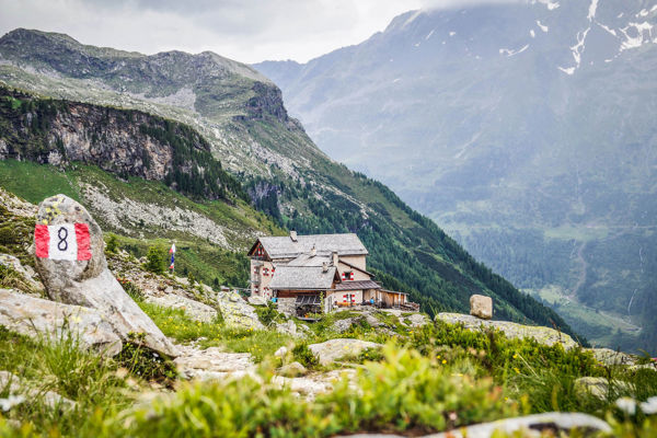
Trail sign
18 A, 27, 26, 27B, 26
Directions
From Sand in Taufers to the hamlet of Drittelsand
Tip by the author
Type of trail
Length 8.5 km
Author
Editorial office south-tirol.com