Hiking tour Niederhofer Alm
Short description
Hike to the Niederhofer Alm in the Tauferer Ahrntal.
Description
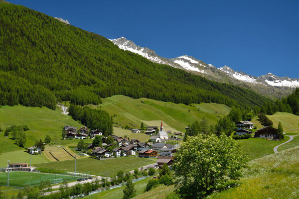
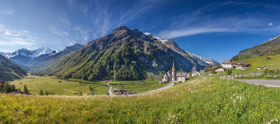
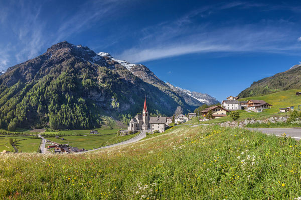
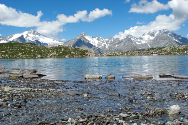
The Durreck Group, Rieserferner and the Zillertal Alps are the constant companions on this hike, which does not start directly in Luttach, but in the nearby village of St. Johann. Be enchanted by the rich fauna of the Ahrntal high mountains!
Starting point of the tour
St. Johann
Destination of the tour
Niederhofer Alm
Route description
The hiking tour starts in St. Johann, about 8 km from Luttach at the Sandbichlerhof in the Tauferer Ahrntal. Take trail no. 6 to the Stöckl am Faden, a beautiful viewing platform in the middle of an almost unspoilt high alpine landscape, and from there continue on an unmarked path to the Obersteiner Holm.
From the Obersteiner Holm, hike along trail no. 6a over the ridge of the Steiner Holm and soon reach the Niederhofer Alm. From here it is not far to the starting point.
Trail sign
6, 6a
Equipment
Hiking boots, hiking poles, wind and rain protection, sunglasses
Public transport
Trains stop at Bruneck railway station, bus connection Bruneck-St. Johann
Directions
Brenner motorway A22, exit Brixen/Pustertal, direction Pustertal/Bruneck West, direction Tauferer Ahrntal
Parking
Car park in St. Johann
Tip by the author
Type of trail
Length 12.6 km
Author
Editorial office south-tirol.com


