Hiking in Eisacktal
Alpine pastures, mountain lakes, monasteries and striking summit destinations make hiking in Eisacktal a varied experience. The area ranges from easy trails near Brixen, Feldthurns or Vahrn to long and challenging tours in the Ridnaun Valley or to high-altitude huts. It is precisely this variety that makes a hiking holiday in Eisacktal so appealing: short walks, alpine pasture tours, cultural trails and challenging mountain tours are all within easy reach.
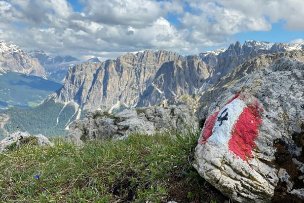
Between Brixen, Lüsen & Ridnaun
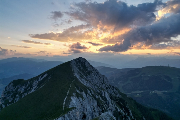
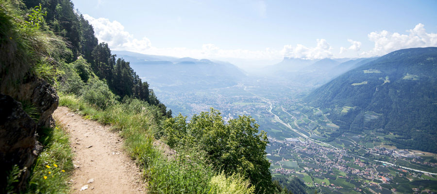
Hiking in Eisacktal is spread across very different sub-regions. Around Brixen, Vahrn and Feldthurns, there are easier trails and cultural walks such as the Törggele trail in Vahrn or the Keschtnweg trail in Feldthurns. In Lüsen and on the alpine pastures around the Kreuzwiesen hut, the scenery becomes more panoramic and alpine. In the Ridnaun Valley, the Becherhaus hut and the Seven Lakes Walk present two distinctly challenging destinations.
Picturesque walks in Eisacktal

When it gets colder in the mountains, the chestnut trail is perfect for a wonderful autumn hike.
Internet Consulting - Kurt LeiterThose looking for walks in Eisacktal will find routes to suit a wide range of abilities, from easy lake and alpine pasture walks to high-alpine destinations. Examples include:
- Lake Radlsee – an easy hike starting from the Perlungerhof near Tils am Pfeffersberg, above Brixen; the trail takes about two and a half hours to reach the lake.
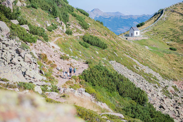
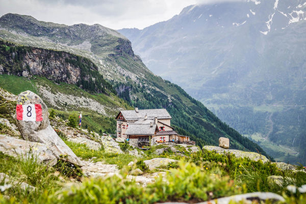
- Kreuzwiesenhütte – a short 4 km hike from Lüsen with plenty of alpine charm.
- Spingeser Alm and Stoanamandl – an easy 7.3 km hike with 1,021 metres of elevation gain, according to the tour website.
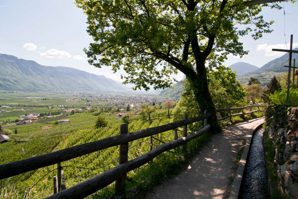
- Keschtnweg Feldthurns – a good choice for anyone wishing to combine hiking with culture around Feldthurns and Säben Abbey.
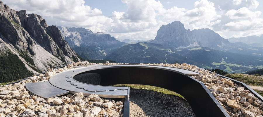
- Klausner Hütte – a scenic hut tour above Feldthurns, well-suited for a classic day’s hike with alpine and mountain character.
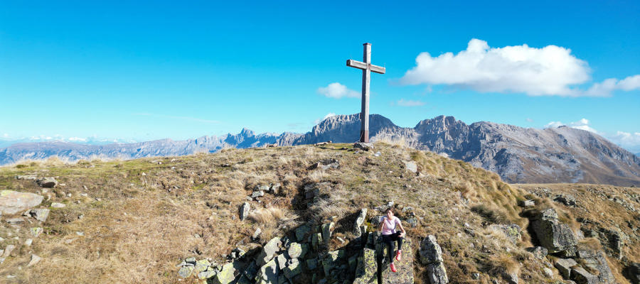
- Latzfonser Kreuz – a well-known pilgrimage destination in the Sarntal Alps and ideal for anyone wishing to combine sweeping views, high altitude and a striking destination.
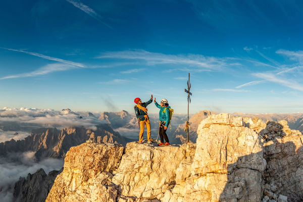
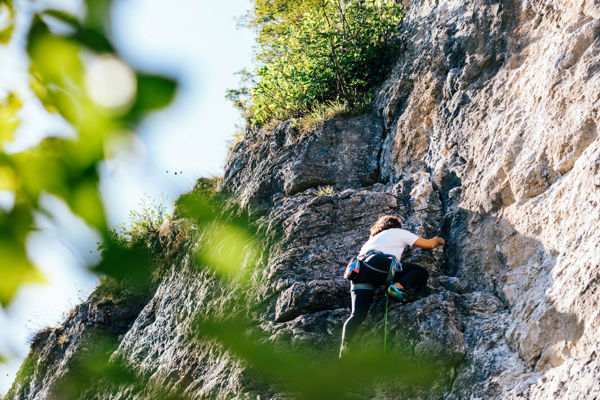
- Seven Lakes Hike – a challenging tour starting from Ridnaun/Maiern, covering 18.9 km, with 1,430 metres of elevation gain and a walking time of around 8 hours.
- Becherhaus – a challenging mountain tour starting from Maiern in the Ridnaun Valley, covering 10.2 km, with 1,877 m of elevation gain and the highest point at 3,135 m.


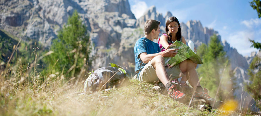
For leisure hikers & experienced mountaineers
A hiking holiday in Eisacktal suits a variety of hiking styles. Easier routes such as Radlsee, Törggelesteig Vahrn or the Keschtnweg are ideal for more relaxed days. Those looking for more elevation gain and longer walking times will find clear mountain routes in the Seven Lakes Hike or the Becherhaus. In between lie many alpine pastures and huts such as the Kreuzwiesenhütte, Spingeser Alm or the Wumblsalmen in Lüsen.
Hiking in Eisacktal is particularly attractive because the landscape changes rapidly. Monastery trails, chestnut groves, alpine pastures, mountain lakes and high-alpine destinations are all situated in an area stretching from the Brixen region to the Ridnaun Valley. This means that a single holiday can combine very different hiking days – from short walks to long expeditions in the high mountains.
Frequently asked questions
Which hikes in Eisacktal are suitable for a relaxing day’s walk?
For a relaxing day’s walk, easier alpine pasture and lake hikes are particularly recommended, such as to Lake Radlsee, the Kreuzwiesenhütte or the Wumblsalmen. Such tours combine manageable walking times with beautiful views and easily accessible starting points.
Where can you find scenic hut and alpine pasture tours in Eisacktal?
Scenic destinations are found primarily around Lüsen, Spinges, Feldthurns and in the higher areas of Eisacktal. Tours such as the Klausner Hütte, Kreuzwiesenhütte, Spingeser Alm and Stoanamandl or Latzfonser Kreuz are prime examples of this.
Are there also challenging mountain hikes in Eisacktal?
Yes, particularly in the Ridnaun Valley there are significantly more challenging hikes. The Seven Lakes Hike and the Becherhaus are good examples of longer hikes with significant elevation gain and an alpine character.
What makes hiking in Eisacktal special?
Typical of Eisacktal is the combination of very different landscapes and types of routes. Cultural trails, chestnut groves, alpine pastures, mountain lakes and high-alpine destinations are relatively close together, making the region particularly varied.