Hiking tour Wumblsalmen
Short description
Discover Ratschings: Hike to the Wumblsalmen.
Description
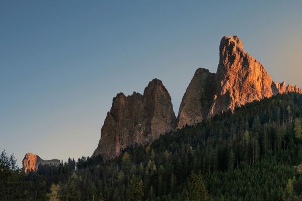
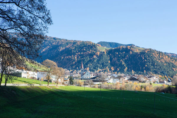
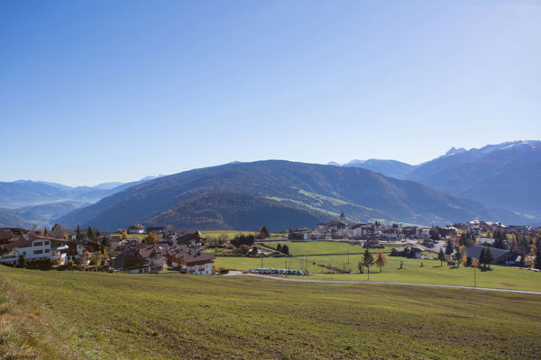
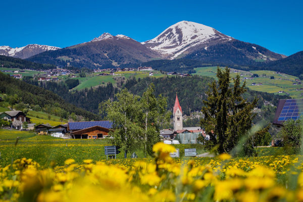
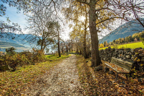
Rough, untouched landscapes, ancient, shingle-covered alpine huts and far-reaching views as far as the glaciated peaks of the Zillertal Alps: the hike from Ratschings to the Inner and Outer Wumblsalmen is a particularly unspoilt experience.
Starting point of the tour
Ratschings
Destination point of the tour
Wumblsalmen
Route description
The starting point of the circular hike is in Ratschings. Park at path no. 10, which branches off to the left. Follow the signpost "Innere Wumblsalm" along a forest path and then continue on a narrow footpath.
Through a steep forest, the trail climbs up to the "Michleben" slope flattening and then less steeply to the edge of the forest and along a wide farm track to the Innere Wumblsalm.
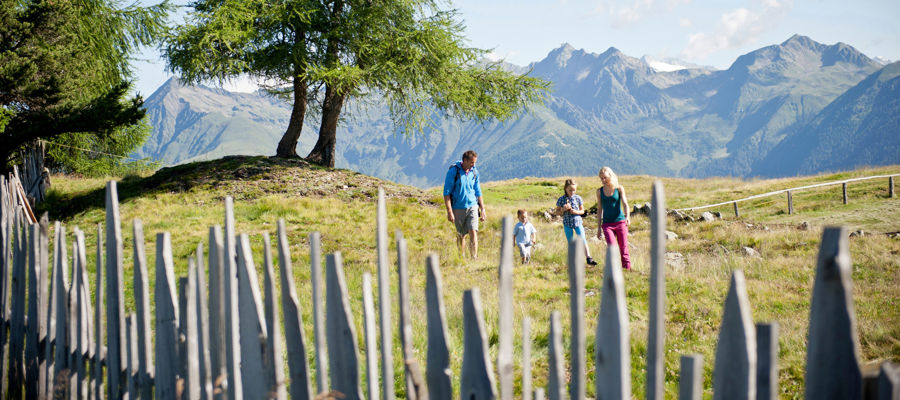
From the Innere Wumblsalm, hikers continue eastwards on trail no. 15 through beautiful alpine pastures to the Äußere Wumblsalm. Panoramic hikers should stop here and enjoy the view of the Ratschingstal valley and the three thousand metre peaks to the east. Return along the wide access path north-eastwards through forest and meadows, descending slightly to a fork in the path at a forest hut. Hikers turn left here and return to the starting point on trail no. 10.
Trail signs
10, 15
Hiking equipment
Hiking boots, hiking poles, wind and rain protection, sunglasses
Public transport
Trains stop at Sterzing railway station, bus connection to Ratschings
Directions
Brenner motorway A22, exit Sterzing, direction Ratschings
Parking
Car park in Ratschings
Tip by the author
Type of trail
Length 17.3 km
Author
Editorial office south-tirol.com