Hiking in Bozen & environs
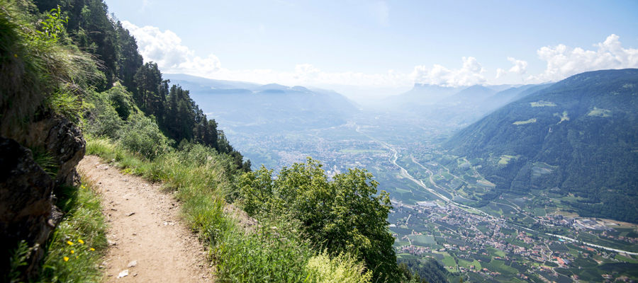
Set amidst a sunny valley basin, panoramic plateaus and tranquil mountain regions, hiking in Bozen and the surrounding area offers an astonishing variety. Around South Tyrol’s largest city, vineyards, low mountain ranges and higher-altitude hiking destinations on the Ritten, in Jenesien or in the Sarntal Valley come together. It is precisely this mix that makes the region so attractive: it combines easily accessible scenic trails with longer hikes and striking destinations in the immediate vicinity of the provincial capital.
Between Ritten, Jenesien & the Sarntal Valley
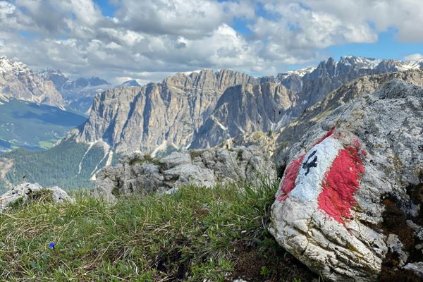
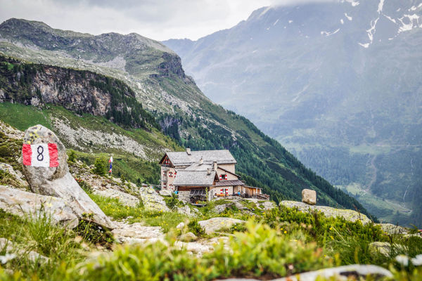
Hiking in Bozen and the surrounding area thrives on its very diverse sub-regions. Ritten is synonymous with panoramic high-altitude areas, wide trails and well-known destinations such as the Rittner Horn or the little church of St. Verena. Around Jenesien and the Jenesier Jöchl, the panoramic views and low-mountain character reveal their particularly pleasant side, whilst the Sarntal, with tours such as the Getrumalm, Stoanerne Mander or the Sarntal Hufeisentour, appears significantly more alpine and expansive. Added to this are destinations such as Maria Weißenstein in the Eggental, which complement the southern part of the region.
Hikes in Bozen & the surrounding area: alpine pastures, passes, circular routes

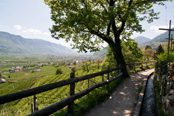
From Jenesien to the stone men
Tourismusverein JenesienAnyone looking for hikes in Bozen and the surrounding area will find a good range of options, from leisurely panoramic trails to longer day hikes. Typical examples in the region include:
- Maria Weißenstein – a 10.2 km hike, well suited for an active day with a clear destination.
- Jenesien – a 13.2 km hike in an area renowned for its panoramic views and easy access.
- Getrumalm – a beautiful alpine pasture hike starting from Reinswald in the Sarntal valley, covering 11.8 km.
- Stoanerne Mander – a striking destination in the Sarntal valley, 11.3 km long and featuring a distinctive landscape.
- St. Verena Chapel – a scenic 16.1 km hike on the Ritten.
- Jenesier Jöchl – a longer 23.1 km hike.
- Sarntal Horseshoe Trail – at 85.5 km, this is on a completely different scale and clearly designed for multi-stage hikes or very ambitious hikers.
It is precisely this variety that makes hiking in Bozen and the surrounding area so interesting: some routes are ideal for an enjoyable day’s walk, whilst others appeal more to experienced hikers seeking greater distances and more alpine terrain.


A hiking holiday with plenty of variety
A hiking holiday in Bozen and the surrounding area combines proximity to the city and nature in a particularly pleasant way. Thanks to the mild climate in the valley and the cooler temperatures on the mountains, the region can be actively explored for much of the year. At the same time, Ritten, Jenesien, the Sarntal Valley and other sub-regions ensure that very different hiking days can be combined – from easier high-altitude trails to longer mountain tours. It is precisely this mix of accessibility, panoramic views and scenic diversity that gives the region its special character.
Frequently asked questions
Which hikes around Bozen are best suited for beginners?
Shorter routes such as Maria Weißenstein, Getrumalm or destinations around Jenesien tend to be more accessible. They combine manageable distances with easily accessible starting points.
Where can I find hikes with particularly good views in Bozen and the surrounding area?
For panoramic views, the Ritten, Jenesien and the Jenesier Jöchl are particularly obvious choices. Tours such as St. Verena’s Chapel or the Rittner Horn are also synonymous with scenic high-altitude spots in the region.
Are there any more challenging tours near the provincial capital?
Yes, particularly in the Sarntal valley there are significantly longer and more challenging destinations. Examples include the Sarntal Hufeisentour or longer hikes such as the Jenesier Jöchl.