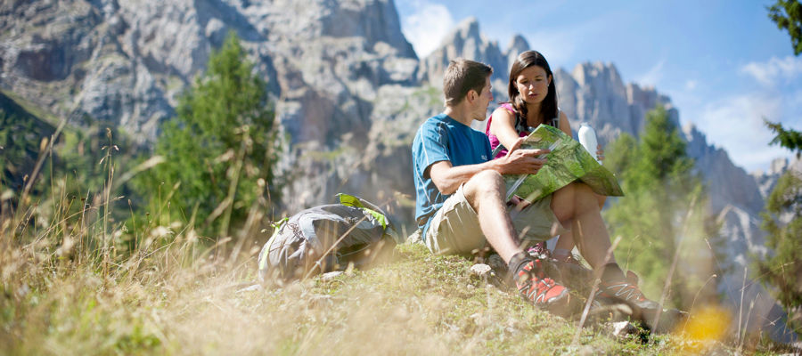
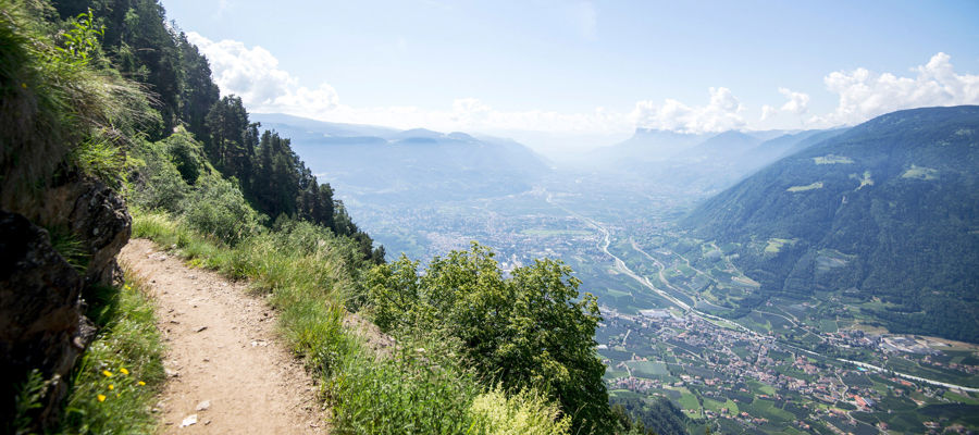
Hiking in Pustertal
Pustertal caters to many types of hikers. Between Kronplatz, the Hochpustertal and the Tauferer Ahrntal, you’ll find easy trails, alpine pasture tours with stunning views, famous peaks and long high-altitude trails. This is precisely the strength of hiking in Pustertal: you can combine short tours, family-friendly destinations and challenging mountain days all within one region.
Multiple areas, many possibilities
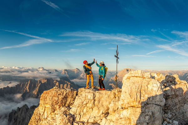
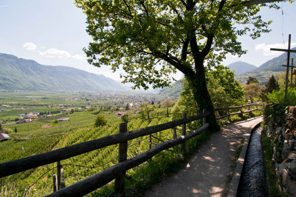
For a hiking holiday in Pustertal, it’s worth taking a look at the sub-regions. Around Kronplatz, there are easily accessible routes, family-friendly destinations and mountains with stunning views. The Hochpustertal is home to well-known Dolomites destinations such as the Strudelkopf on the Plätzwiese or trails in the Sexten area, such as the Fischleintal. In the Tauferer Ahrntal, the terrain becomes more alpine, with many long ascents and high-altitude destinations. Added to this is the Pfunders high alpine trail, a multi-day route clearly aimed at experienced mountain hikers.
Fantastic hiking tours in Pustertal

Across Rotbachtal Valley and via Schwarzenstein hut path, you can get to the peak of Mt. Schwarzenstein (3.369 m).
Tourismusverein Ahrntal
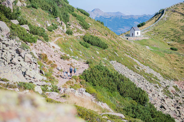
Along stone walls to the little church of the Holy Spirit in Kasern/Prettau
Internet ConsultingThose looking for hikes in Pustertal will find a wide variety of routes, ranging from easily planned day trips to alpine adventures requiring significantly greater fitness and mountaineering experience. Examples include:
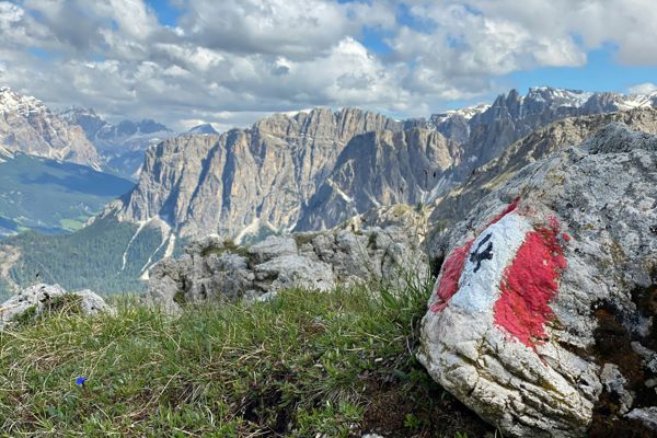
- Strudelkopf – a striking 9.9 km hike in the Hochpustertal with impressive views of the Dolomites.
- Schönbichl – an easily accessible mountain destination from Oberwielenbach, well-suited for a clear day’s hike with views.
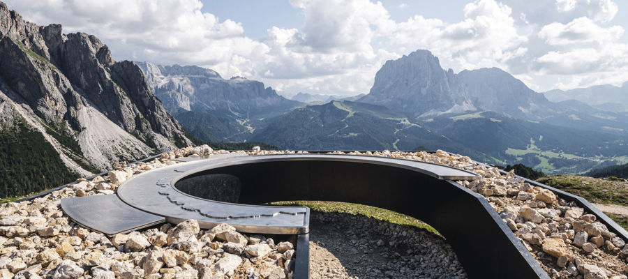
- Kronplatz panoramic summit – a hike with stunning views starting from Furkel Pass, featuring a panoramic trail and huts such as the Graziani Hut.
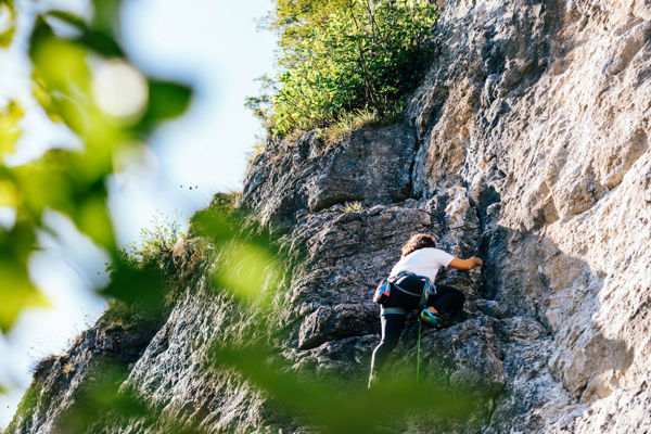
- Alpinisteig Sexten – an alpine tour, partly secured by wire ropes and of a significantly more challenging nature.
- Birnlücken Hut – a longer hut-to-hut hike from Kasern covering 15.2 km, a good starting point at the head of the Ahrntal valley.
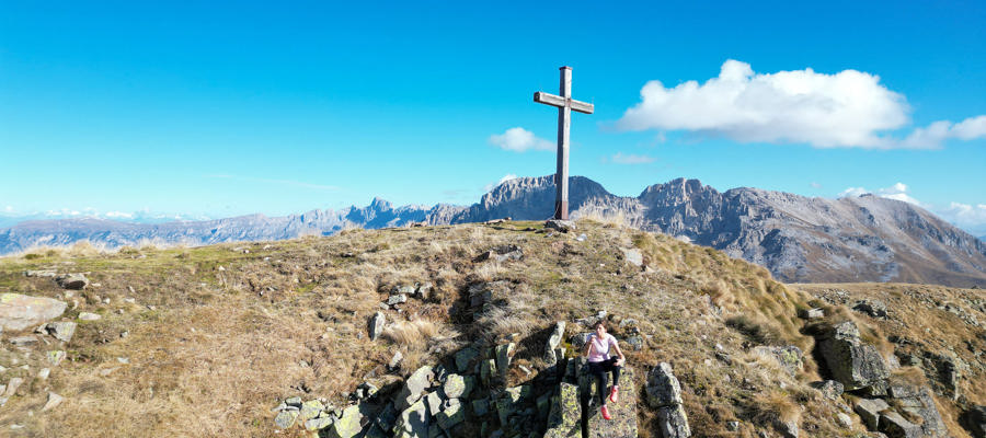
- Schwarzenstein – a high-altitude hike in the Ahrntal for experienced hikers with experience of steep terrain.


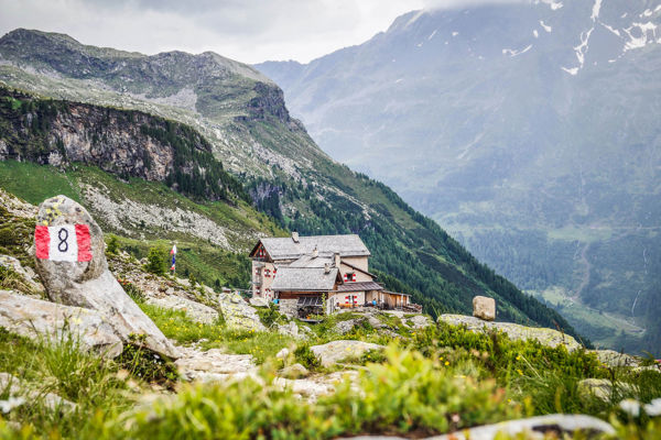
For families, alpine pasture tours and long days in the mountains
Not every area in the valley appeals to the same type of hiker. Families and beginners will find suitable destinations at Kronplatz and in well-developed areas. Those looking for classic hut-to-hut tours are well catered for in the Tauferer Ahrntal or in the side valleys of the Pustertal. For long and challenging hikes, routes such as the Pfunders high alpine trail, the Alpinisteig trail in Sexten or summit hikes in the Ahrntal are ideal. This allows a hiking holiday in the Pustertal to be tailored to your ability, time available and preferred landscape.
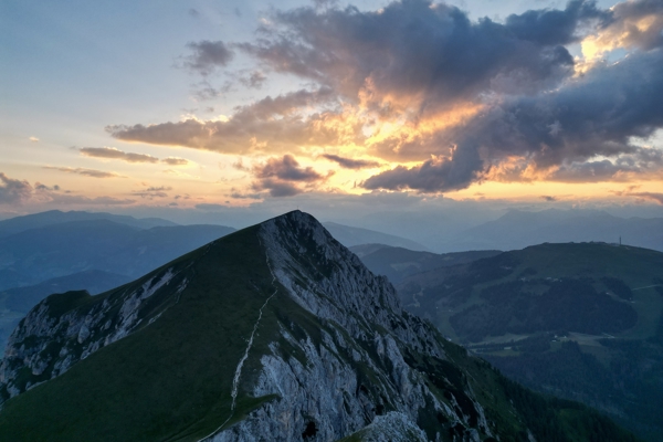
In the east of South Tyrol, you can expect panoramic views of the Dolomites, alpine pastures, nature parks, valley trails and high-alpine passes. The Three Peaks between Sexten and Toblach, the Seekofel by Lake Prags and numerous valleys to the left and right of Pustertal characterise the area, as do quieter hikes at lower altitudes. It is precisely this diversity that makes the region appealing for both short breaks and longer hiking holidays.
Frequently asked questions
Which regions are more suitable for easy hikes?
More accessible routes can be found around Kronplatz and in well-developed areas of Pustertal. Family-friendly destinations and short hikes are more common there than in the high-alpine areas of the Ahrntal.
Where are the more challenging routes in Pustertal?
Things get more challenging in the Tauferer Ahrntal, on the Pfunders high alpine trail and on alpine routes in Hochpustertal. There, longer ascents, exposed sections or multi-stage routes play a greater role.
Which destinations are particularly well-known for hiking in Pustertal?
Well-known destinations include the Strudelkopf, the Drei Zinnen, the Seekofel, tours around Kronplatz and numerous mountain huts in the Tauferer Ahrntal. They are a good illustration of just how wide the range of hiking options in the Pustertal is.