from 205 €
WINKLER 5-Star Design Hotel
Design hotel | St. Lorenzen at Mt. Kronplatz

from 122 €
Majestic – Unique Spa Resort
Wellness hotel | Reischach at Mt. Kronplatz

from 65 €
Landhaus Fux
Residence | Schlanders in the Vinschgau

from 93 €
Hotel Leitner
Pure relaxation | Mühlbach in Eisacktal

from 205 €
LANERHOF Relax & Active Retreat
Spa-Hotel | St. Lorenzen at Mt. Kronplatz

from 80 €
Hotel & Resort Schlosshof
Charme Hotel | Lana near Meran

from 438 €
Naturhotel Waldheim
Active hotel | Altrei in Southern South Tyrol

from 66 €
Garni Ganthaler
in the middle of fruit orchards | Algund nearby Meran

from 255 €
Quellenhof Luxury Resort Passeier
Sport & wellness resort | St. Martin in Passeiertal

from 70 €
Alpwellhotel Burggräfler
Wellness hotel | Tisens near Meran

from 66 €
Garni Ganthaler
in the middle of fruit orchards | Algund nearby Meran

from 89 €
Hotel Vilpianerhof
Active hotel | Terlan in Southern South Tyrol

from 252 €
SOLVIE Calm Inspiring Getaway
Sporthotel | Pfalzen at Mt. Kronplatz

from 98 €
Granpanorama Hotel Sambergerhof
Panorama Hotel | Villanders in the Eisacktal

from 100 €
Hotel Tirolerhof
Gourmet hotel | Welsberg-Taisten at Mt. Kronplatz

from 80 €
Pension Sonnenhof
Familiar atmosphere | Meransen in the Eisacktal

from 125 €
Hotel Waldhof
Vitalpina Hotel | Rablà near Meran

from 166 €
MIRABELL DOLOMITES HOTEL
Luxury . Ayurveda & SPA | Olang at Mt. Kronplatz

from 163 €
Viktoria Alpine Spa Resort
Wellnesshotel | Hafling near Meran

from 140 €
Hotel Sand
Hiking - biking hotel | Kastelbell-Tschars

from 118 €
Hotel Saltauserhof
Wellness hotel | St. Martin in Passeier
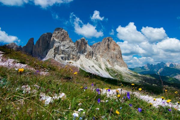
Hiking tour Puflatschalm
Difficulty:
Medium
Distance:
10.6 km
Ascent:
904 m
Descent:
904 m
Duration:04:30 h
Lowest point:1502 m
Highest point:2173 m
Best season
Jan
Feb
Mar
Apr
May
Jun
Jul
Aug
Sep
Oct
Nov
Dec
Short description
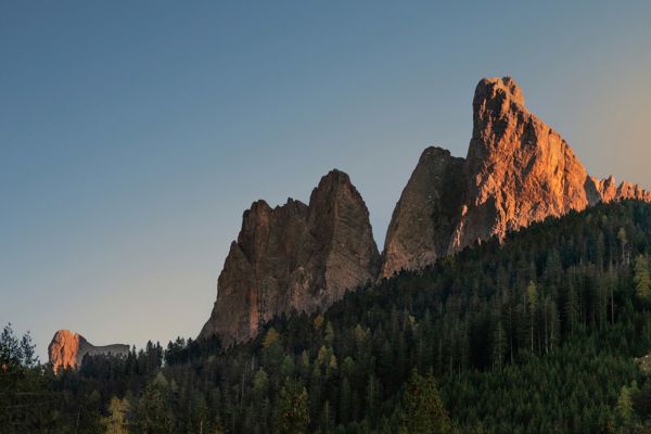
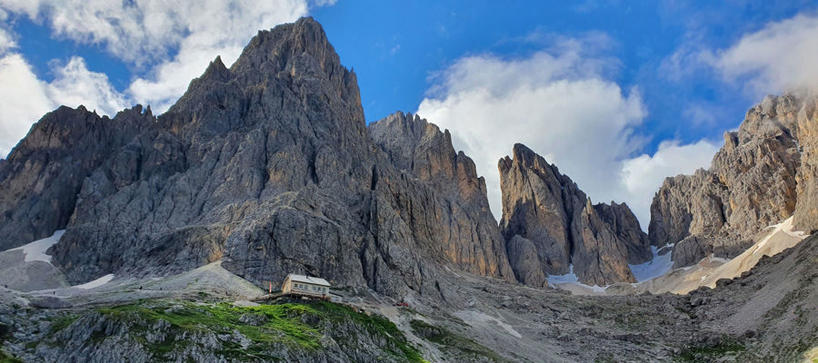
Easy circular hike with magnificent views of the Seiser Alm.
Starting point of the tour
Pufels
Destination point of the tour
Pufels
Route description
From Pufels (1,400 m) along the road up to Ancion. At the halfway point, marker 24, the so-called Schnürlsteig, branches off, leading in serpentines to the Fillner Kreuz and on to Puflatsch, past the Hexenbänken.
From there, the trail descends to the Goller Kreuz and on to the Arnikahütte. From there, the Puflatsch circuit begins, the trail leads past the Dosser Schwaige and Profill on the alpine path to the Puflatscher Hütte.
Way back: From the Puflatscher Hütte, the 'A' and later 'PU' markings lead back to the Fillner Kreuz and via the Schnürlsteig to Pufels.
Trail signs
24, A, PU
Directions
From St. Ulrich in Gröden to Pufels.
Tip by the author
Type of path
Length 10.6 km
Author
Editorial office south-tirol.com