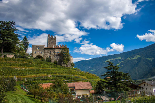
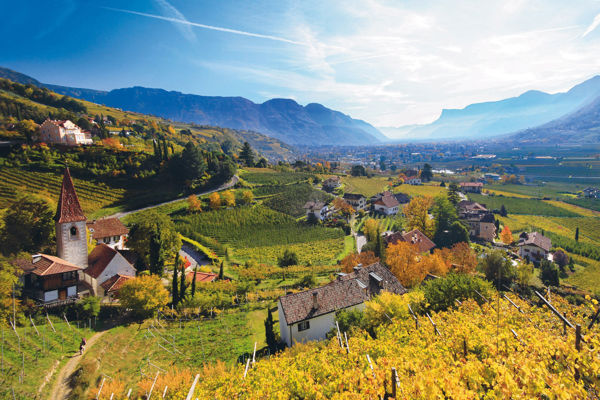
MTB tour Meran 2000
Short description
Mountain biking and hiking on Meran 2000.
Description
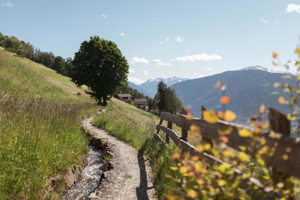
It doesn't always have to be a bike. Why not combine cycling tours with beautiful hikes?
Starting point of the tour
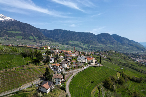
Hafling
Destination of the tour
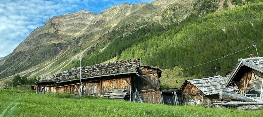
Meraner Hut
Route description
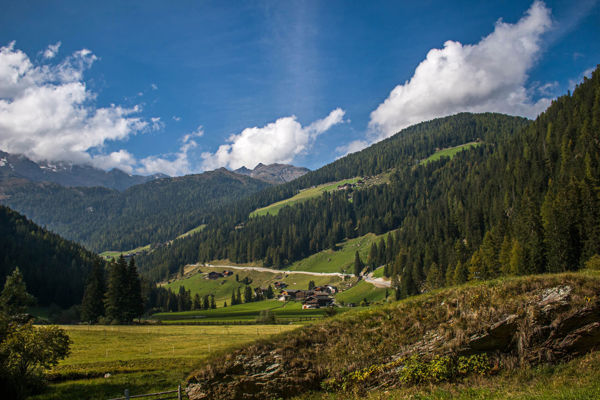
In Hafling, a narrow road leads between the church and the Meßnerwirt inn to the main road to Vöran. It first turns right then left, signposted 2b, 16, until you reach a forest road.
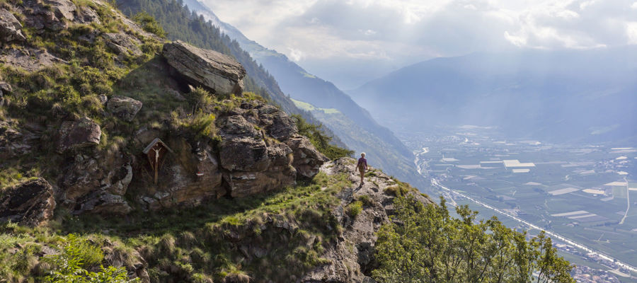
Continue left to the Hubertus and Platt farms and finally over the Almbach stream to the Maiser Alm. This is where the hike begins. Bikers leave their bikes at the houses of the Maiser Alm and hike on trail no. 17 to the Meraner Hütte. The way back leads from the Meraner Hütte via the Kreuzjöchl and here to the right back to the Maiser Alm.
Route sign
2b, 16, 17
Equipment
Mountain bike, helmet, wind and rain protection, sunglasses, air pump
Public transport
Trains stop at the railway station in Bozen and Meran, bus connection to Hafling
Directions
Brenner motorway A22, exit Bozen Süd, motorway MEBO, direction Hafling
Parking
Car park in Hafling
Tip by the author
Type of trail
Length 16.3 km
Author
Editorial office south-tirol.com