MTB tour Tesselberg & Mühlbach
Short description
From Gais up the Tesselberg to Mühlbach
Description
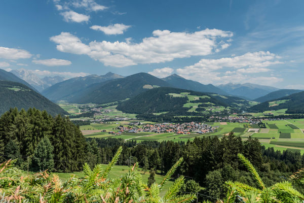
Enjoy the marvellous view of the central Pustertal Valley and the Kronplatz.
Starting point of the tour
Centre of Gais
Destination of the tour
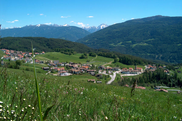
Tesselberg and Mühlbach
Route description
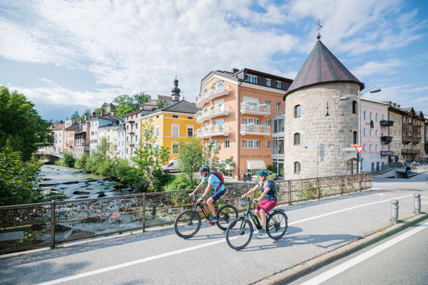
The cycle route starts in the centre of Gais and initially leads past the parish church in the direction of Bruneck. After just under a kilometre, mountain bikers turn left at Hohes Kreuz and cycle along the dirt track to Aufhofen and Dietenheim.
The route continues on a tarmac dirt track to Luns and the access road to Amaten and Tesselberg. Soon afterwards, cyclists take the connecting road to the mountain village of Mühlbach and then take the rapid descent to Uttenheim, reaching Gais after a few kilometres.
Equipment
Mountain bike, helmet, wind and rain protection, sunglasses, air pump
Public transport
Trains stop at Bruneck railway station, bus connection Bruneck-Tauferer Ahrntal
Directions
Brenner motorway A22, exit Brixen/Pustertal, direction Pustertal/Bruneck, direction Tauferer-Ahrntal
Parking
Car parks in Gais
Tip by the author
Type of trail
Length 21.3 km
Author
Editorial office south-tirol.com