MTB tour Marchkinkele
Short description
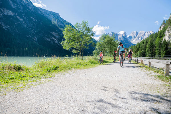
Cyclists can enjoy a marvellous view of the Hochpustertal's mountains from Marchkinkele.
Description
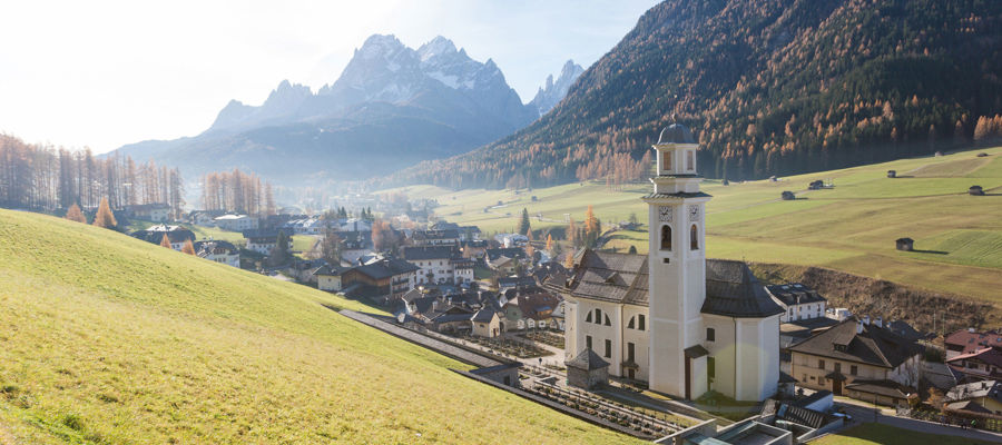
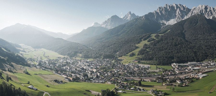
Hochpustertal is the easternmost region of South Tyrol and is a land of contrasts: the Three Peaks and Sexten Dolomites on the one hand, romantic valleys and playful mountain streams on the other.
Starting point of the tour
Innichen
Destination of the tour
Marchkinkele
Route description
The cycle tour starts in Innichen. The route first heads east along the Drau to Vierschach. There, cyclists take the road subway and cycle along a moderately ascending road to Gasthof Jaufen.
At the second crossroads, mountain bikers turn left onto a wide forest road and, after a few bends, reach the Silvesterplatz square and the Silvesterkapelle chapel. After a short rest, brave pedallers continue on a winding and bumpy military road to Marchkinkele, the destination of this cycle tour. From here you can enjoy a unique view of the mountains in Hochpustertal.
Equipment
Mountain bike, helmet, wind and rain protection, sunglasses, air pump
Public transport
Bus and trains stop in Innichen
Directions
Brenner motorway A22, exit Brixen/Pustertal, direction Pustertal/Innichen
Parking
Car parks in San Candido